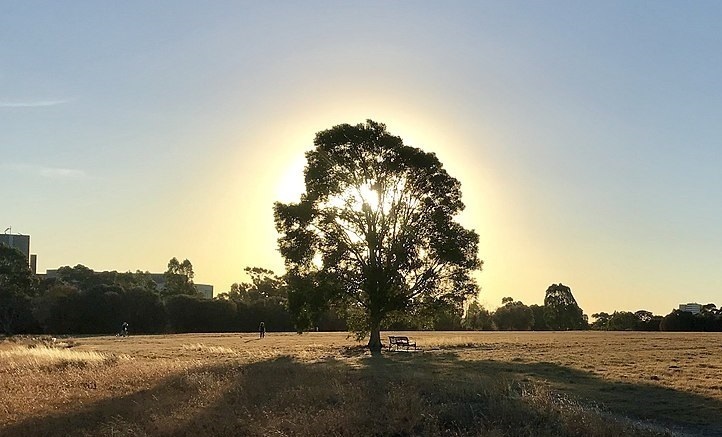
The inner city parks of Melbourne are dominated by Royal Park, which is the city’s largest park (181 hectares or 450 acres). In the state of Victoria, Australia, the central business district of Melbourne is situated four kilometers (2.5 miles) to the north of the Parkville area.
There are a number of different athletic facilities available, such as the North Park Tennis Club, the Royal Park Golf Course, football and soccer ovals, baseball and cricket pitches, the State Netball & Hockey Centre, and walking and cycling trails. There is a native garden that may be found at the intersection of Gatehouse Street and Royal Parade. There are expansive views of grassland as well as gently wooded sections that contain eucalyptus, casuarina, and acacia trees. A park management plan was first implemented in 1984 by the Melbourne City Council, which is in charge of the park’s administration. The year 2005 saw the creation of a wetland area.
During the day, kite flying is a fun activity that may be done on the grassy slope that is located between the Royal Children’s Hospital and the Native Garden. From this vantage point throughout the summer months, members of the Astronomical Society of Victoria set up telescopes, give evening talks, and lead tours of the night sky.
Wildlife
The park is home to a large number of indigenous animals, such as possums, as well as a diverse population of birds, some of which are as follows: Pacific black duck, chestnut teal, white-faced heron, brown goshawk, collared sparrowhawk, Horsfield’s bronze cuckoo, Australian hobby, galah, red-rumped parrot, eastern rosella, superb fairy-wren, white-plumed honeyeater, spotted pard
The park is home to a population of White’s skinks (Egernia whitii) that is significant to the surrounding area, and a portion of the park’s environment is managed expressly for the benefit of this species.
History
Although the Yarra people normally preferred camping next to the Yarra River or Merri Creek in the early years of European colonization, Wurundjeri campfires were occasionally spotted in the neighborhood of Royal Park. This was in contrast to the preference of the Wurundjeri people.
In the year 1850, Governor Charles La Trobe made a provision for parkland and open space that encompassed an area of 10.36 square kilometers (4.00 square miles). In the year 1852, portions of this land were put up for sale and eventually became a component of the Carlton and North Melbourne suburbs. In the same year, a portion of the land was utilized to establish the Melbourne General Cemetery. In the year 1853, a portion of the reserve was selected to serve as the location of the University of Melbourne.
In May of 1854, a portion of land measuring 6.25 kilometers squared (2.41 square miles) was designated as “reserved for public uses within the Colony of Victoria” and given the name “Royal Park.” In April of 1858, 142 acres of land in the park’s northwestern section were set aside to function as an experimental farm. Later on, this location was used as an orphanage, a shelter for the homeless, a nursing home, a geriatric rehabilitation institution, and eventually a general rehabilitation hospital. In 1919, the same year that the CSL was established, it was also chosen to serve as the organization’s headquarters.
When the rapid growth in population caused by the Victorian gold rush led to the establishment of the neighborhood of Parkville, the reserve was further reduced to a total area of 2.83 square kilometers (1.09 square miles). In 1861, the area that is today known as “Parkville South” saw the beginning of sales for a housing estate. Additional land was removed from Royal Park in 1868 so that it could be used for the development of housing complexes at “Parkville North” along Royal Parade and “Parkville West” near Flemington Road. In the year 1875, Parkville South saw an expansion.
In 1861, an area of 0.2 km2 was set aside for the Melbourne Zoo (0.077 sq mi). Further excisions were made for roads, the Upfield railway line in 1884, the Melbourne Zoo horse tramline in 1890, the Royal Park psychiatric facility in 1907, the West Coburg electric tramline in 1925, the University High School in 1929, Camp Pell in 1942, the Royal Melbourne Hospital in 1944, the Royal Children’s Hospital in 1957 (which was returned to parkland in 2013), the Royal Dental Hospital in 1963, the Melbourne Sports Centre – Parkville in 2001, and a relocated (2007).
In 1860, Burke and Wills embarked on an expedition to circumnavigate Australia from south to north, beginning their journey in Royal Park. They didn’t make it back alive from their excursion. In Royal Park, where they were going to begin their journey, there is now a cairn marking the spot.
Camp Pell, which was utilized by United States forces during World War Two, was located in this park throughout both World Wars One and Two. During World War Two, the park was used for military encampments. Following the conclusion of World War II, the permanent buildings of Camp Pell were converted into temporary housing and remained in use until the year 1960. Since 2005, the lone building that is still standing from Camp Pell has been converted into a “Urban Camp” in order to provide as a place for rural school pupils and other groups to stay while they are in Melbourne.
Royal Park, Melbourne is located close to Melbourne CBD & Ami Tour you can check below Google Maps.
We, At Ami Tours, specialize in Yarra Valley wineries tours and Mornington Peninsula wineries tours. We offer daily group wine tours, private, customized tours, and tours for large groups and corporations.
Ami Tours Australia
03 5907 7227
bookings@amitours.com.au
18/786 Princes Hwy, Springvale VIC 3171